Welcome to the DEA Knowledge Hub
The Knowledge Hub brings together information about Digital Earth Australia’s products and services, allowing you to utilise our free and open-source satellite imagery archive.
Data Products
Browse our catalogue of data products to find supporting information and ways to access the data.
User Guides
Find documentation, step-by-step instructions, and DEA publications on a variety of topics.
DEA Notebooks
Explore visual walkthroughs that show how to analyse our data using Python, including the use our DEA Tools package.

Validation reports
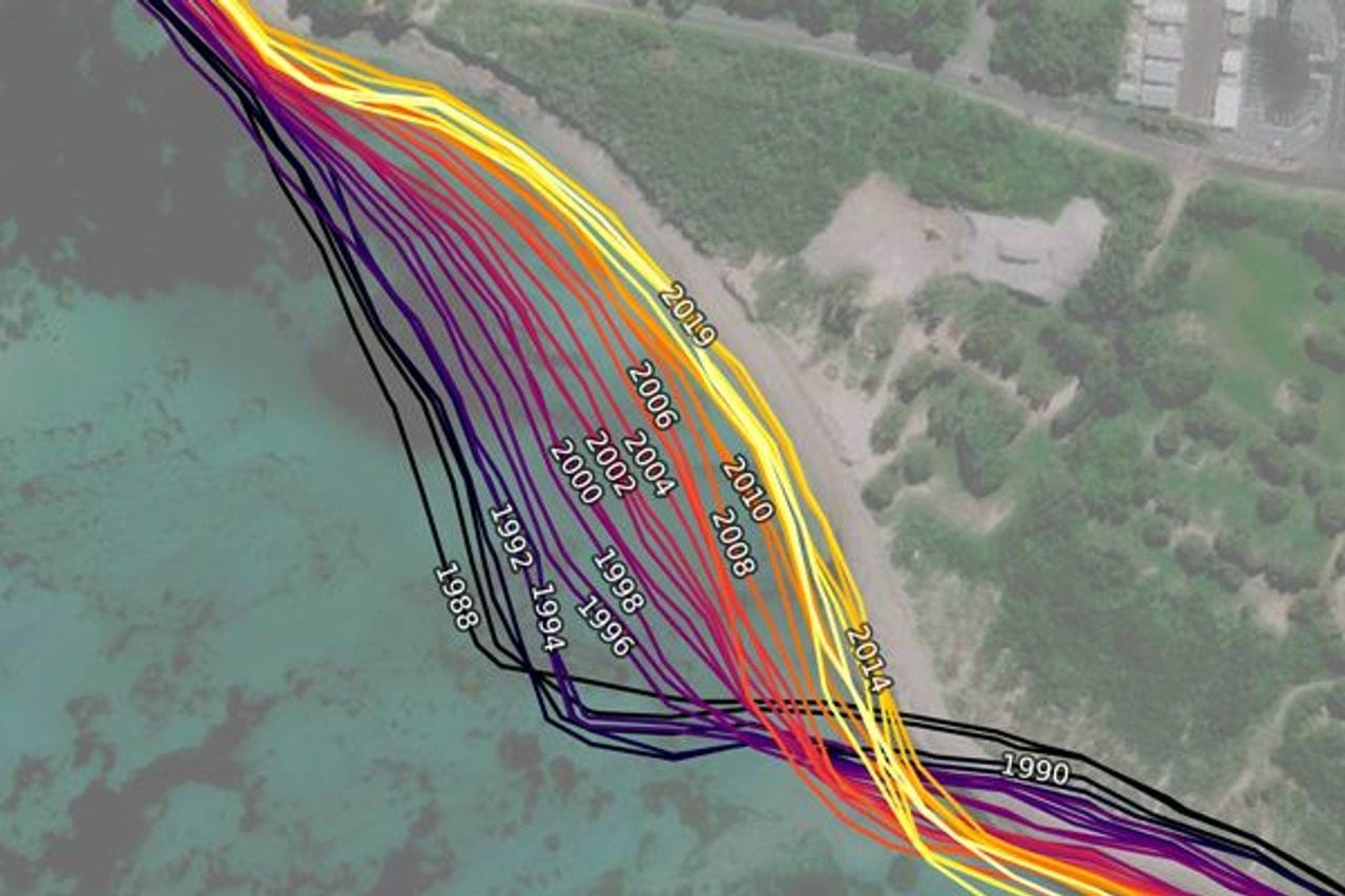
How well does DEA’s satellite-derived Analysis Ready Data compare with field-derived surface reflectance data? These reports provide this comparison.
DEA Tech Alerts
Find out about the latest updates to DEA’s products and services, planned maintenance, and any outages that may occur.
About Digital Earth Australia
Digital Earth Australia (DEA) is a program of Geoscience Australia, an entity of the Australian Government.
It is our mission is to embed satellite imagery and data into decisions that support a sustainable Australian environment, a resilient society, and a strong economy.