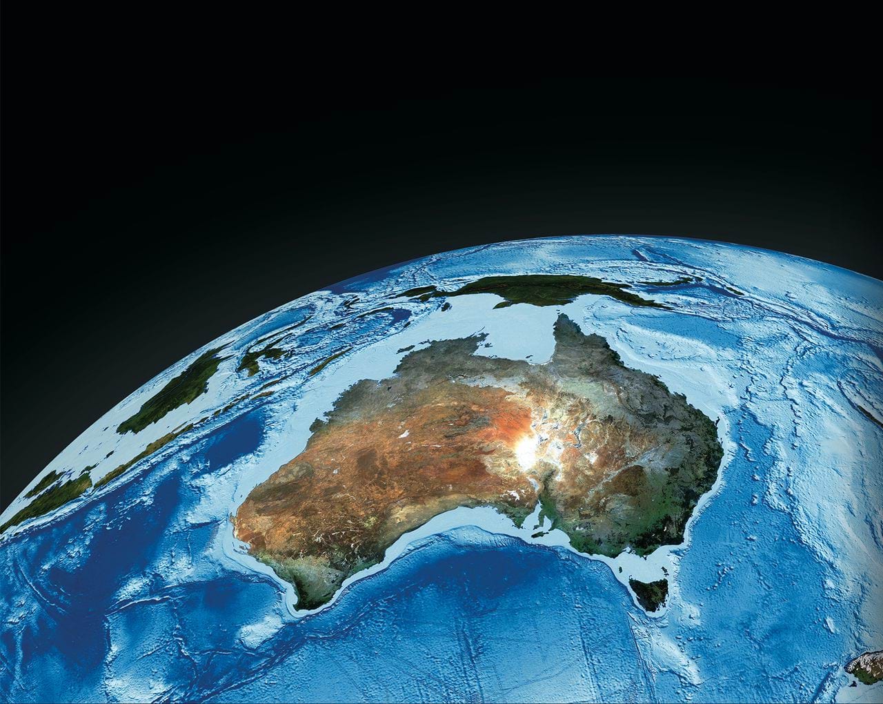
2.0.0: DEA Burnt Area (Landsat, 2010 and 2015)
2.0.0: DEA Burnt Area (Landsat, 2010 and 2015)
Burnt Area Map 25m 2.0.0
- Version:
2.0.0 (See latest version)
- Product types:
Derivative, Raster
- Update frequency:
Deprecated

Old version
This is an old version of the product. See the latest version.
Key details
Collection |
Geoscience Australia Landsat Collection 2 |
Licence |
Background
The Burned Area product provided information on the area of Australia burnt per calendar year using the Landsat satellites. This information was useful for understanding which areas burnt at which time of year and to what degree, and helps inform how often an area burnt and how long since last burn.
What this product offers
The Burned Area product offers an annual understanding of all areas burnt across Australia. It provides area burnt, the month the burn occurred, and an assessment of burn severity.
Applications
To understand which areas burnt during a calendar year
To assess burn severity for each burn area
To be used as an input to carbon accounting
To understand land cover change
To assess the time since last burn and frequency of burn, and hence possible fuel loads
Technical information
Burned area is mapped from Landsat surface reflectance time series. It implements a change detection algorithm developed jointly by ANU and GA.
The maps are produced for calendar years. The layers available are:
StartDate, detected start-date of severe and moderate burned area
Duration, duration of land cover change due to the bushfire
Severity, severity of land cover change due to the bushfire
Severe, binary mask for severe burnt area; Moderate, binary mask for moderate and severe burnt area
Corroborate, binary mask for corroborating evidence from hotspots data with 4km buffer
Cleaned, month of first detection, filtered by spatial and temporal coincidence with corroborate layer
Lineage
Burned area is mapped from Landsat surface reflectance time series. It implements a change detection algorithm developed jointly by ANU and GA.
Other versions
You can find the history in the latest version of the product.
Acknowledgments
Eloise Birchall
License and copyright
© Commonwealth of Australia (Geoscience Australia).
Released under Creative Commons Attribution 4.0 International Licence.