ABARES CLUM 2023
ABARES CLUM 2023
- Type:
Raster
- Coverage:
2023
- Produced by:
Australian Bureau of Agricultural and Resource Economics and Sciences
External data
This data product is produced by an external party and is not a DEA product. DEA provides this data without modifications except where needed to make it compatible with our systems.
Go to the external data page (Australian Bureau of Agricultural and Resource Economics and Sciences)
About
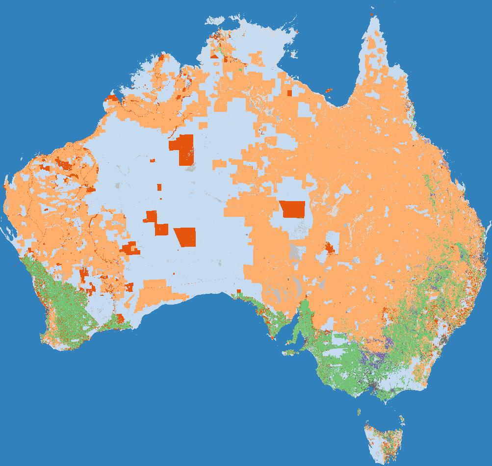
This dataset is the national compilation of catchment scale land use data for Australia (CLUM), as at December 2023. It is a seamless raster dataset that combines land use data for all state and territory jurisdictions, compiled at a resolution of 50 metres by 50 metres.
Access the data
For help accessing the data, see the Access tab.
Go to the external data page
Data Explorer
Access the data on AWS
Key specifications
For more specifications, see the Specifications tab.
Long name |
ABARES Catchment Scale Land Use of Australia - Update December 2023 |
Bands |
|
DOI |
|
Licence |
Cite this product
Data citation |
ABARES 2024, Catchment Scale Land Use of Australia - Update December 2023, Australian Bureau of Agricultural and Resource Economics and Sciences, Canberra, February, CC BY 4.0, DOI: 10.25814/2w2p-ph98
|
Product ID
The Product ID is abares_clum_2023. This ID is used to load data from the Open Data Cube (ODC), for example dc.load(product="abares_clum_2023", ...)
Bands
Bands are distinct layers of data within a product that can be loaded using the Open Data Cube (on the DEA Sandbox or NCI) or DEA’s STAC API.
Type |
Units |
Resolution |
Nodata |
Aliases |
Description |
|
|---|---|---|---|---|---|---|
alum_class |
int16 |
None |
50 metres |
0 |
None |
Australian Land Use and Management (ALUM) Classification class |
Product information
This metadata provides general information about the product.
Product ID |
abares_clum_2023
|
Used to load data from the Open Data Cube. |
Long name |
ABARES Catchment Scale Land Use of Australia - Update December 2023 |
The full name or technical name of the product. |
Producer |
Australian Bureau of Agricultural and Resource Economics and Sciences |
The external party (outside Digital Earth Australia) that produces this data. |
Spatial type |
Raster |
The most common spatial types are raster and vector. |
Temporal coverage |
2023 |
The time span for which data is available. |
Coordinate Reference System (CRS) |
The method of mapping spatial data to the Earth’s surface. |
|
DOI |
The Digital Object Identifier. |
|
Licence |
The licence and copyright. |
Product categorisation
This metadata describes how the product relates to other products.
Tags |
Access the data
Go to the external data page |
Learn more about the data from the external provider. |
|
Explore data availability |
Learn how to use the DEA Explorer |
|
Get the data online |
Learn how to access the data via AWS |